QGIS Plugin Development: AttributeTransfer Plugin
This part finally brings the whole source code of the QGIS AttributeTransfer plugin.

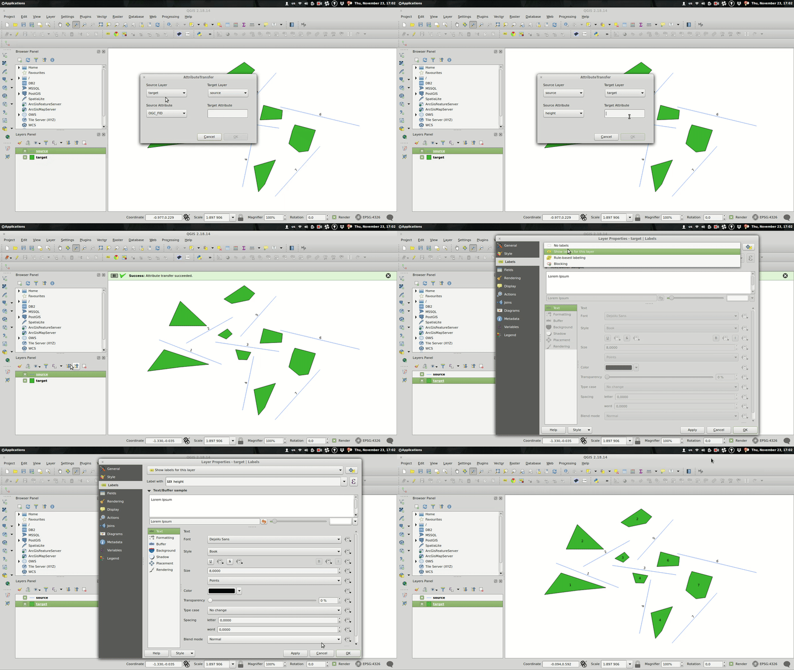
The plugin itself resides in the attribute_transfer.py file. When run() method is invoked, the QT form pops up with combos prefilled with available vector layers that support attribute editing.
Source and target layer combos are mutually exclusive, thus it’s not possible to transfer the attribute within the same layer.
Coding the plugin, I came across minor issues related mainly to the QgsSpatialIndex implementation. In the nearest neighbor analysis part of the series, the QgsSpatialIndex.nearestNeighbor method was mentioned. Yet, as I found out, this method only works with QgsPoint geometries. Those are impossible to get from QgsPolygon or QgsPolyline, though. What can one possibly do, facing such a misfortune? Well… draw a solution matrix.
| point | line | polygon | |
|---|---|---|---|
| point | QgsSpatialIndex.nearestNeighbor | QgsSpatialIndex.nearestNeighbor; layers have to be switched, e.g. source layer = line | QgsSpatialIndex.nearestNeighbor; layers have to be switched, e.g. source layer = polygon |
| line | QgsSpatialIndex.nearestNeighbor | QgsSpatialIndex.intersects with QgsGeometry.distance | QgsSpatialIndex.intersects with QgsGeometry.distance |
| polygon | QgsSpatialIndex.nearestNeighbor | QgsSpatialIndex.intersects with QgsGeometry.distance | QgsSpatialIndex.intersects with QgsGeometry.distance |
Using the spatial index brings one more issue I’ve come to realize just after implementing the special comparison workflows for different geometry types. There’s a chance of finding the nearest feature using the bounding box that’s actually not the nearest feature. In that case, I chose to find the most distant vertex of such a feature and use it to construct the rectangle around the target feature. If there are any source features in such a rectangle, it’s very likely one of them is the real nearest feature.

Right now, I’m working on finding the nearest feature even if no bounding box intersection is found. Meanwhile, the plugin is being reviewed to be featured in QGIS Plugins repository. Fingers crossed.
I thought this was going to be the last part of the series. But how could one possibly claim the coding project done without writing tests? Stay tuned for the next episode.